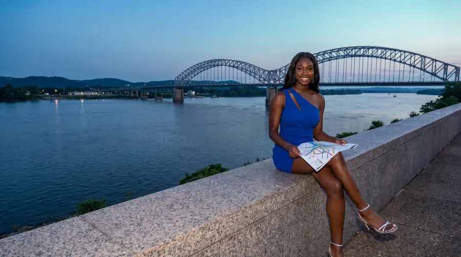
Generated picture. The young woman is a character made for this guide, not a real person and not casino staff.
HomeOver the bridge
Driving to Gateway Casinos Sault Ste. Marie
The casino is at 30 Bay St., near the International Bridge you cross from the Michigan side. The tool below opens a route for you from Sault Ste. Marie, Michigan, or from an Ontario town.
By the Night Crossing crewChecked October 14, 2026
Where are you coming from?
Ontario towns: straight lines between OpenStreetMap points · Michigan: route link only
Bridgeroute only
Sault Ste. Marie, Michigan: Google Maps picks the way over the International Bridge. No straight line is printed for Michigan.
Over the bridge
Near the International Bridge
The casino is at 30 Bay St., Sault Ste. Marie, Ontario P6A 7A6. It stands near the International Bridge, which links this city with Sault Ste. Marie, Michigan, in the United States. Put on a wider map, the casino sits near the U.S. border at the eastern tip of Lake Superior.
One small trap catches map apps. The city's own map point is 0.9 km from the casino, so typing only the town name can leave you short of the door. Use the full street address, postal code included.
Over the bridge
Starting on the Michigan side
If you start in Sault Ste. Marie, Michigan, the route button in this guide opens Google Maps directions to the casino. You will not see a distance printed for the Michigan side. That is on purpose: the guide's map data covers Ontario towns only, so the route itself is left to Google Maps.
Border rules are a separate matter. The Canada Border Services Agency (CBSA) sets the rules for entering Canada. U.S. Customs and Border Protection (CBP, cbp.gov) sets them for entering the United States on the way home. This guide does not list border documents or estimate crossing times, so check the agencies' own pages before you leave.
Over the bridge
Along the north shore
Here are the straight lines from the casino to the nearer Ontario towns. Bruce Mines is 49 km away, Thessalon 67 km, Iron Bridge 90 km and Blind River 113 km. Elliot Lake is 130 km out. Wawa, up to the north, is 167 km away.
These are lines drawn between map points, not the way you drive. Roads are longer than the lines. Pick your town in the route tool and Google Maps works out the roads from that town to Bay Street.
| Town | Straight line | Direction | Route |
|---|---|---|---|
| Bruce Mines | Straight line: 49 km | Direction: south-east | Route: Google Maps |
| Thessalon | Straight line: 67 km | Direction: south-east | Route: Google Maps |
| Iron Bridge | Straight line: 90 km | Direction: east | Route: Google Maps |
| Blind River | Straight line: 113 km | Direction: east | Route: Google Maps |
| Elliot Lake | Straight line: 130 km | Direction: east | Route: Google Maps |
| Chapleau | Straight line: 164 km | Direction: north-east | Route: Google Maps |
| Wawa | Straight line: 167 km | Direction: north | Route: Google Maps |
| Espanola | Straight line: 199 km | Direction: east | Route: Google Maps |
| White River | Straight line: 241 km | Direction: north | Route: Google Maps |
| Sudbury | Straight line: 257 km | Direction: east | Route: Google Maps |
| Marathon | Straight line: 288 km | Direction: north-west | Route: Google Maps |
| Timmins | Straight line: 314 km | Direction: north-east | Route: Google Maps |
| North Bay | Straight line: 375 km | Direction: east | Route: Google Maps |
| Thunder Bay | Straight line: 425 km | Direction: north-west | Route: Google Maps |
| Toronto | Straight line: 503 km | Direction: south-east | Route: Google Maps |
| Ottawa | Straight line: 679 km | Direction: east | Route: Google Maps |
- Distances are straight lines between OpenStreetMap points, and roads are longer.
- The Michigan entry opens a route in Google Maps but shows no distance.
Over the bridge
From Sudbury, Thunder Bay and farther
For the far cities, the lines stretch out. Sudbury is 257 km away, Marathon 288 km, Timmins 314 km and North Bay 375 km. Thunder Bay is 425 km, Toronto 503 km and Ottawa 679 km. Sudbury and North Bay lie to the east, Thunder Bay and Marathon to the north-west. Google Maps picks the roads, and those run longer.
One habit helps before any trip from these cities: check the closing time before you set out. The casino closes at 2 am Sunday to Thursday and at 3 am on Friday and Saturday, both in the early hours of the next day.
Over the bridge
Leaving the car
The casino's lot offers free parking, so the car can stay put for the evening. Since there is no hotel, though, work out how to get home before the night begins. No shuttle, city bus stop or valet service is published by the casino, and neither are EV chargers or RV parking. Questions about any of these are best put to the casino by phone at 705-759-0100.
Questions
Quick answers
What is the straight-line distance to Elliot Lake?
In a straight line, Elliot Lake sits 130 km from the casino. The drive is longer than that, so use the route tool to see the real road distance.
Why does the Michigan route show no kilometres?
The guide's map data covers Ontario towns only. If you start in Sault Ste. Marie, Michigan, the tool opens Google Maps directions instead, and those show you the way to Bay Street.
Do you pay to leave the car at the casino?
It costs nothing: free parking on site appears on the casino's list. No valet service is published, so expect to park the car on your own.
Is there somewhere to stay at the casino after a late night?
The casino has no hotel. It closes at 2 am Sunday to Thursday and at 3 am on Friday and Saturday. Sort out the trip home, or a place to sleep elsewhere, before you go.